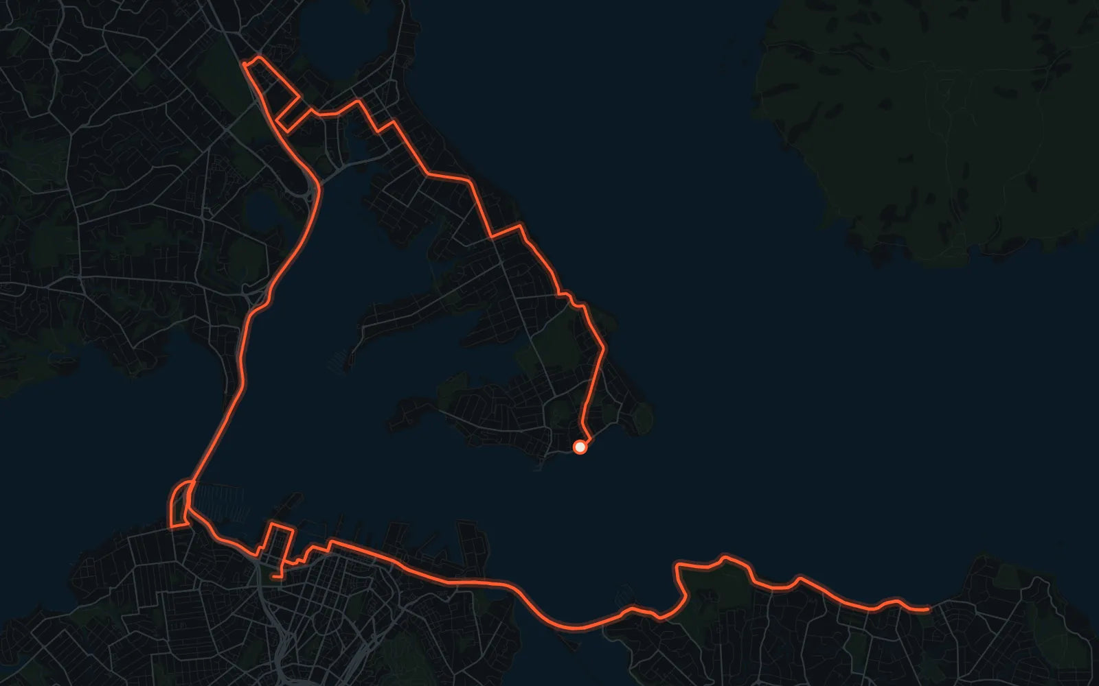
The Auckland Marathon is a point-to-point course with an out-and-back in the middle. It starts on the North Shore in Devonport, crosses the Harbour Bridge, runs east along the waterfront and Tāmaki Drive to St Heliers, then comes back along the water to finish in Victoria Park.
The organisers' spectator map lists these places to watch, in course order:
- King Edward Parade, Devonport. The marathon and half marathon start line. Good for the send-off, but you won't see your runner again here.
- Akoranga Bus Station. On the North Shore before the course heads for the bridge. Handy if you're travelling by bus.
- Ōrākei Domain, Tāmaki Drive. Parking is available at the Grammar TEC Rugby Club. This is the spot to pick if you only pick one (see below).
- St Heliers. The marathon turnaround.
- Victoria Park. The finish venue for every distance.
See them twice from one spot
Because the marathon turns at St Heliers and comes back the same way, Tāmaki Drive is run in both directions. Stand at Ōrākei Domain and you'll see your runner heading out to St Heliers, and again on the way back to the city. Then you have time to get to Victoria Park for the finish.
Before you go
Roads around the course close on race morning, and the organisers publish a road closures map and a spectator driving route. Check both on the official site in race week rather than relying on this page.
Source: the official Auckland Marathon spectator map (Google My Maps, linked from aucklandmarathon.co.nz). I make posters independently and I'm not connected to the race.
The poster
My Auckland poster uses the official route, from Devonport over the bridge to Victoria Park, with your time, name and bib on it.